- Satellite Image Processing; image purchasing, image processing,
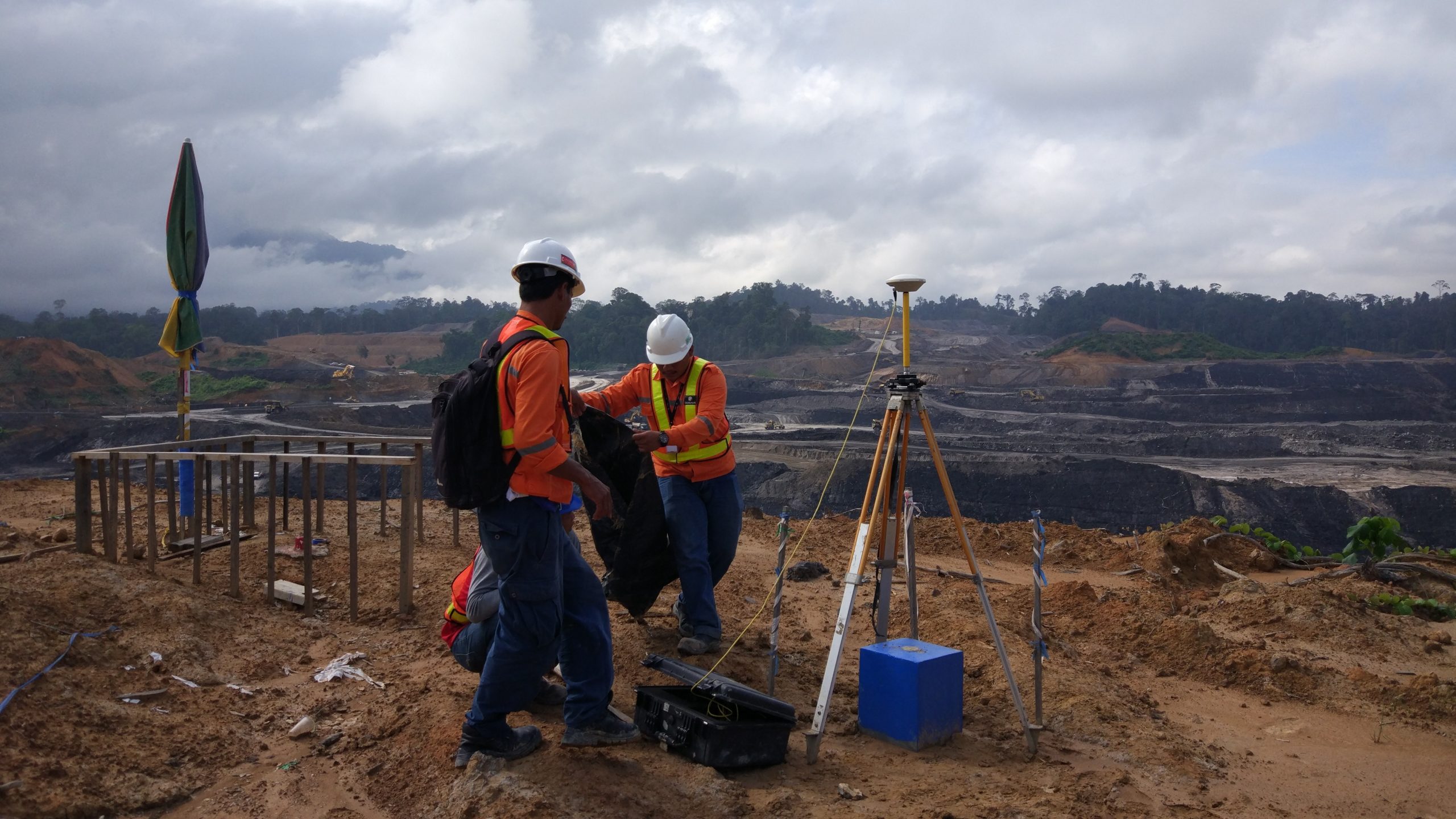
- GCP measurement, urban/city planning,oil/gas/mining/hydropower exploration, cadastral survey, infrastructure, etc.
- Geographic Information System (GIS); pipeline database, road database, gas distribution database, tax map, hazard map, etc
- Light Detection and Ranging (LiDAR); mining, agriculture, infrastructure and buildings, oil and gas, forestry.
- UAV PhotogrammetryMapping and Modelling ; palm cencus, contour mapping, boundary, forestry, mining, pipeline route, road route, etc
- UAV for project, pipeline surveillance, security/site monitoring
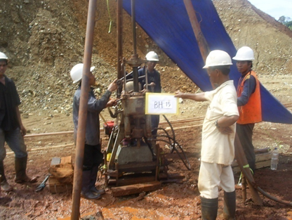
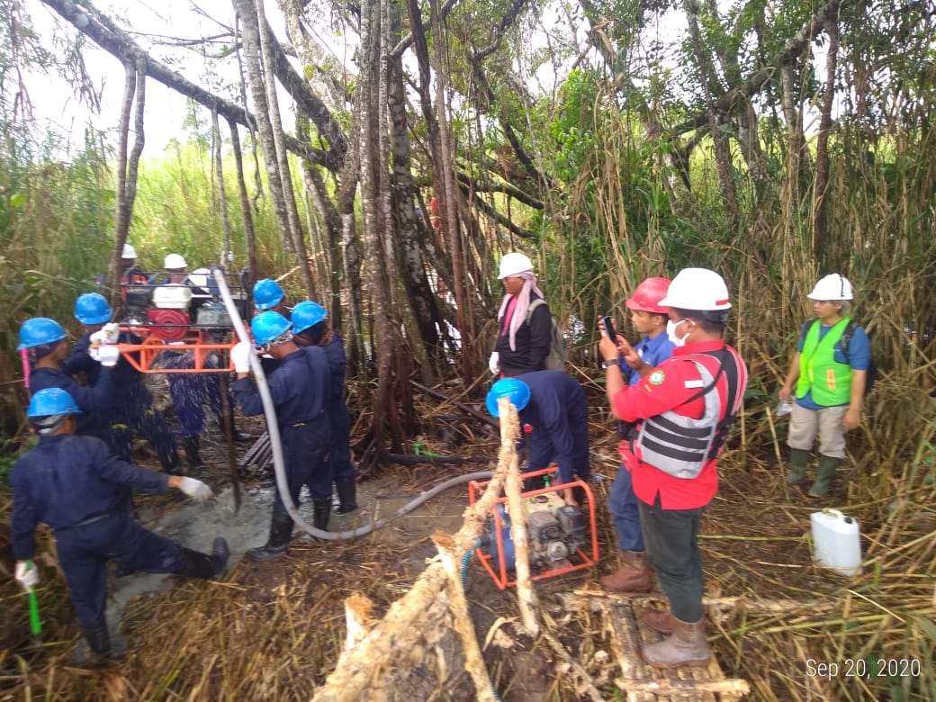
- On/Near shore Geotechnical/Soil Investigations
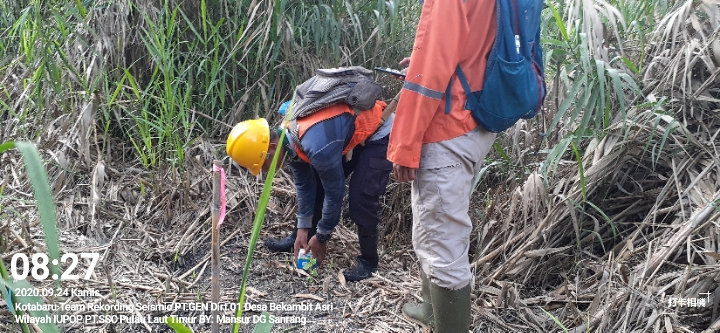
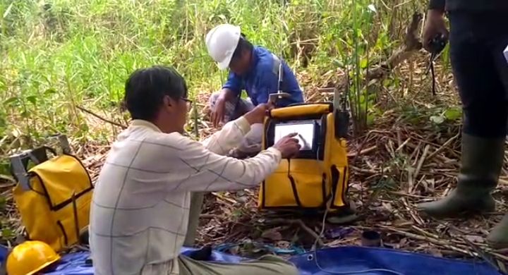
- Geologicaland Geophysical Survey/Mapping
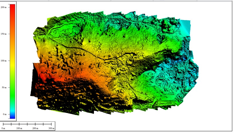
- Geological Modelling and Seismic Interpretation
- 2D Onshore and MarineShallow Seismic Acquisition, Processing, QC
- Geoelectric exploration : water, mining exploration
- GPR, refraction, CSAMT : mining, oil and gas, construction support, underground utilities mapping, hydropower, etc
- Seismic acquisition support/assist
- Mining /hydropower/renewable energy exploration
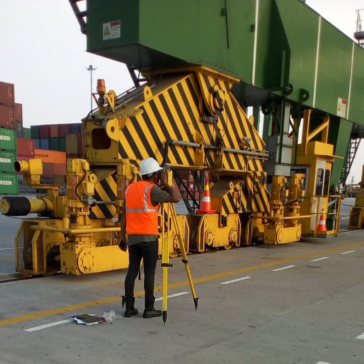
- Infrastructure and buildings support survey
- Contour mapping: long – cross section
- Stake out survey and detailed mapping
- Asbuilt survey and Drill rig site plan
- Deformation/Slope/Subsidence monitoring
- 3D mapping laser scanner: asbuilt survey
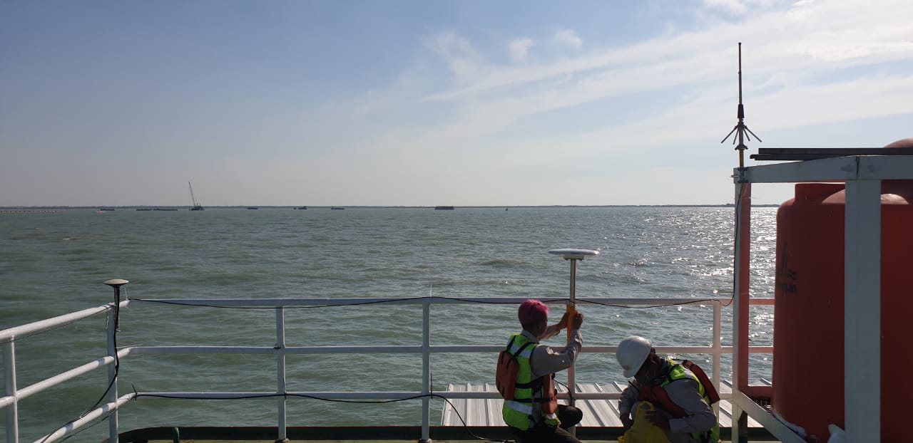
- GPS Observation & GCP measurement
- Pipeline /power line/road route survey
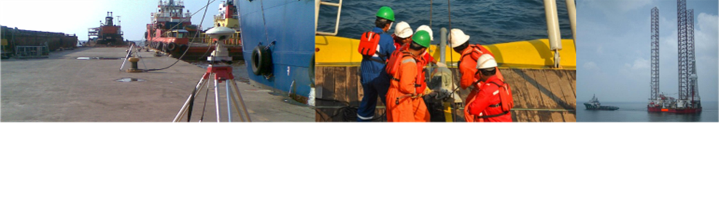
- On/Near/Off-shore singlebeam and multibeamsurvey
- Analogue geophysical (site) survey: Side Scan Sonar, SBP (Sub Bottom Profiling), Bathymetry, Magnetometer
- Pipeline/cable route survey, Existing pipeline/cable survey
- Pipe/cable laying survey & Pre-post trenching assist
- Offshorepositioning; rig moving, assist geotechnical, assist diver, barge moving, ROV positioning
- Nearshore geotechnical investigations
- Dredging support survey and marine sand survey
- Metocean investigations
- Shipping channel survey/investigations
- Marine geohazard survey
- Marine seismic acquisition support
Our clients
Delivering surveying on budget and high reliability
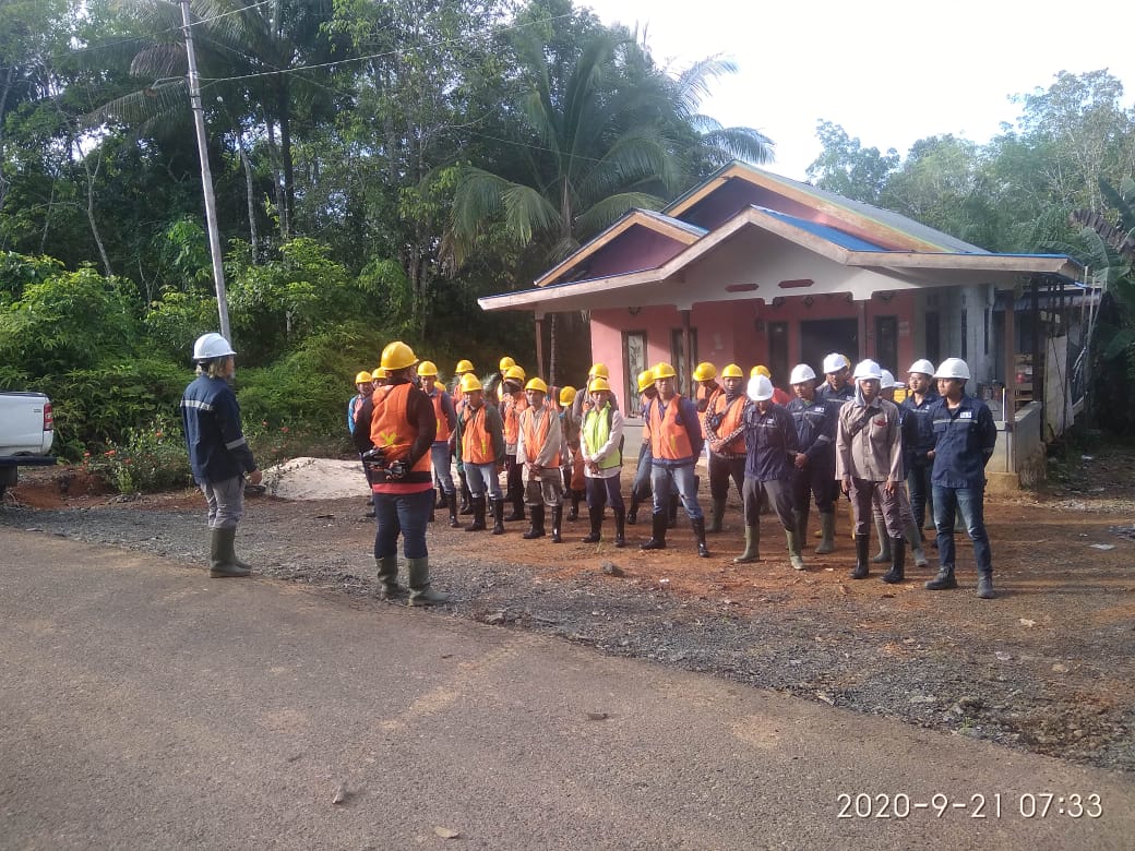
HSE
We are committed to providing a healthy and safe workplace at every work location and strive to protect the environment in accordance with applicable laws and our Health, Safety and Environmental (HSE) Policy.
Charity
Our program are donating a 1% – 3% of profits from every single project to charity. Please see our charity report here.
Call to Action
Lorem ipsum dolor sit amet, consectetur adipiscing elit. Ut elit tellus, luctus nec ullamcorper mattis, pulvinar dapibus leo.